We left Ponca City, OK, around 12:25p.m. and made our way east toward Bartlesville, OK. It was a quaint little town. Around 1:45p.m., a Mesoscale Discussion and a tornado watch were issued for southeast Kansas, eastern Oklahoma, northwest Arkansas, and western Missouri. The MD said that an unstable air mass developed east of the dryline, with dewpoints near 70 degrees beneath steep mid level lapse rates. Nearly all convection inhibition had been eroded and cumulus clouds had begun to form along the dryline. They expected these cumulus clouds to erupt as intense supercells with large hail (about 4inches in diameter...grapefruit/softball size hail). Although low level shear was marginal, given the extreme instability of the atmosphere, they said it would be sufficient for tornadic activity. So, in essence, it was looking good for chasing. Around 2:00p.m., we began to monitor a cell 35 miles north of Bartlesville, OK, in Kansas. I actually had texted my dad when we first saw the cell go up, and I told him to keep an eye on it. A short while later, he texted me to see if we were on it. And, sure enough, we were!


We decided to change locations to get a better views...On the way, we passed through Caney, KS...home of the BullPUPS! I thought this was hilarious. It was a nice comic relief amongst a crazy, hectic, adrenaline rush. Around 3:15p.m., we saw a wall cloud with our first storm, located north between Independence and Liberty, KS.


Near Parsons, KS, we experienced inflow sucking into the storm and outflow coming out of the storm. We shifted locations to get a different view. We felt a really strong outflow. Then, a big strike of lightning struck really close to us and caused us all to scurry to the van. Looking back on that, it is really funny yet very dangerous. We sat there (in the van, of course) to let the storm roll over us since there was no clear rotation. We experience strong winds and pea sized hail...


And, we even saw a gustnado!!!... For those of you who do not know, a gustnado is a gust front tornado. It is not associated with a mesocyclone but with a gust front...


We realized the storm began to hook so we changed locations. However, the hook quickly died. But, we did run into a weird dead end...It was a random military block off in Kansas...Interesting...

We then headed south of a rotating storm to get a better view...that is when a tornado warning was issued. We experienced LARGE hail and outflow, cold air being pushed out from the storm. We also got to see some really neat hail steaks...


We then got word that there were reports of a funnel cloud 2 miles southeast of Parsons, KS; however, we were unable to locate the funnel before it retreated. Along the way, we saw serious hail and lightning! We saw about 2 inch diameter hail, but some spots reported between 4 and 4.5 inch hail. CRAZY! Check out the pictures below...


It is hard to see, but these lawns are covered in hail...


In addition to hail, we saw serious flooding...

We also saw an Amish family getting into their van to leave, people on the streets just watching, and a family getting into their storm cellar. Which one do you think was the smarter choice?!? Just a side note, many people do not take severe weather seriously, and I am not just talking about tornadoes. I am also talking about lightning, flooding, blizzards, extreme cold and heat days, hurricanes, and tornadoes. Later in my blog, you will see why it is important to take these watches and warnings seriously...
Around 5:45p.m., we began to head southeast toward Joplin, MO, where a tornado had been reported on the ground. On the radar, the tornado had a huge hook echo and looked really bad. We kept thinking "this sucker is huge". Little did we know...it would be another repeat of the Tuscaloosa/Birmingham tornado. Because we were on the north side of the storm, too far away, and it was rain wrapped, it was too dangerous to get up close to see it. We continued to monitor the storm by radar as we moved near Joplin, MO. That is when we saw the huge debris cloud...This is how we knew it would be bad...

Some spotters who were in dangerous locations reported that it was a multivortex tornado... We decided to quit chasing it and drive through Joplin, MO. We were not prepared for what we saw and it was only on the interstate. We saw nearly 10 semis overturned and horrible damage. From inside sources, news, and the Weather Channel, parts of the town are completely demolished. Homes were leveled, the hospital was hit head on and caught on fire, and unresponsive bodies lay in the streets. There were also reports that the hospital was in danger of an explosion. They began to evacuate the entire hospital. Someone reported the tornado was a mile wide. I will not be surprised if the tornado is classified as an EF-4 or an EF-5. Out of respect for the victims, I will not post any pictures of the damage we saw.
For safety reasons, we unfortunately could not stay to help with relief efforts in Joplin. So, we decided to move further south to see another storm. As we moved away from the Joplin, MO, we continued to see just how strong those winds were... Check out these power lines we saw...


Then, we got caught up in some serious hilly terrain in Arkansas with a lot of trees. For future reference, this is really not an ideal area for chasing. We ended up looking straight into a hook echo of a storm. The rotation on this storm was really neat to see. Check out the pictures...


After this storm, we called it a night and began our long treck back to Ponca City, OK. On the way back, we passed through Grove, OK, for dinner. I must give props to Mike for his awesome driving skills. We had to get through some nasty rain storms and flood waters in order to make it back to our hotel safely. At points, it was pretty scary, but we were in good hands. Thanks, Mike!
When we finally returned to our hotel about 12:30a.m., we were all exhausted; however, it took me awhile before I went to bed. With all the commotion yesterday, it is hard to grasp the severity of these storms until you sit back and really look back on what happened. My heart was breaking for all those suffering from the aftermath of that tornado. We only saw some of the damage from the interstate, and that was bad enough. I can't imagine having to deal with all the pain and suffering these people must be going through, especially after seeing what the Southeast just went through. I know most meteorologists would agree with me when I say that this is the toughest part of our major, career, and passion...As much as we get excited about seeing real life situations about things we have spent years of learning about, we also know what kind of damage it can bring. Many people do not understand what we are doing, but we would never wish this on anyone...
When we left for our storm chase, we each received a booklet on useful information for storm chasing and storm spotting. In the beginning, there is an article written by , in which he discusses the purpose of storm chasing. It is not to wish for storms to form or tornadoes to drop down, but it is chase storms are occuring and will occur beyond our control. The reason we have the advanced technology and warning systems we have today is because scientists and meteorologists used real life situations to improve warning systems . Weather is going to happen whether we like it or not. It is inevidible. But, we are storm chasing to learn in the field so that we can be more prepared and more knowledgable about the weather and its happenings. We can take what we learn and put it to good use in the future to improve technology, warning systems, and emergency management strategies that can and will save more lives.
Enough about that...Now, the last thing I want to say about yesterday is that I could not help but feel blessed that we were not caught up in that storm. We had two awesome copilots keep us out of harms way, while still managing to teach us some pretty cool things. I do have to admit that I would gladly give up seeing that tornado if it means keeping us safe, and that is exactly what we did. I am proud of our team.
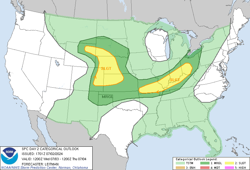
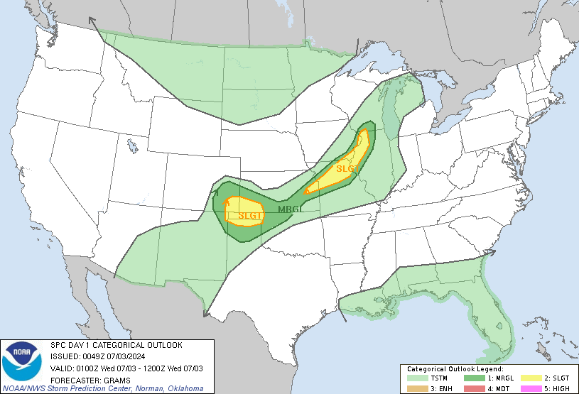
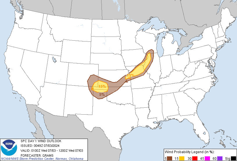
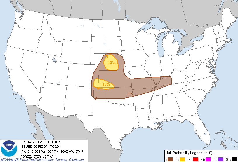
Now, as for today, we decided to stay in Ponca City, OK, to monitor the situation. We briefed at 10:30a.m., 12:30p.m., and 2:00p.m. It looks like the main risk for severe weather will be in central and western Oklahoma, southern Kansas, and northwestern Texas. So, we are in an ideal area for chasing. Check out the Storm Prediction Center's Convective Outlook for today below...


A Mescoscale Discussion and a tornado warning were both issued for the western/central Oklahoma region before 3:00p.m. It looks like storms will form along a boundary to our west around 4:00p.m. We will then head out to chase. Hopefully, we can learn some more great stuff today, as well as keeping everyone safe. Stay tuned for more details throughout today!


